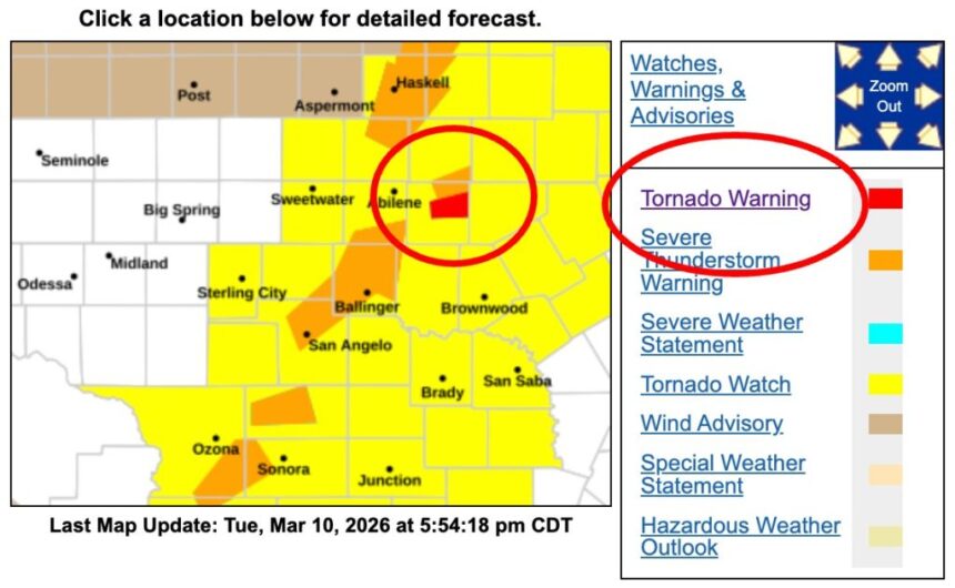
A tornado warning remained in effect Tuesday evening for northeastern Callahan County, Texas, after meteorologists detected a severe thunderstorm capable of producing a tornado near the community of Putnam. The National Weather Service (NWS) urged residents to take immediate precautions as the storm continued moving east across the region.
According to officials, the warning was scheduled to remain active until 6:15 p.m. CDT, with the storm posing a threat of tornado development and large hail reaching up to two inches in diameter.
Severe Storm Detected Near Admiral and Putnam
The National Weather Service in San Angelo reported that at 5:48 p.m. CDT a severe thunderstorm capable of producing a tornado was located over Admiral, or near Putnam, moving east at roughly 30 mph.
Radar analysis indicated rotation within the storm system, a key signal that conditions could support tornado formation.
In its official statement, the agency warned, “A severe thunderstorm capable of producing a tornado was located over Admiral, or near Putnam, moving east at 30 mph.”
Meteorologists said the storm was expected to pass directly over Putnam around 5:55 p.m. CDT, placing residents and motorists in the area at immediate risk from severe weather hazards.
Areas and Transportation Routes Potentially Impacted

Besides Putnam, additional areas expected to be affected by the storm include Admiral and locations near the Callahan–Eastland County line.
Officials also warned that a stretch of Interstate 20 between mile markers 309 and 323 falls within the path of the storm, potentially creating hazardous conditions for travelers.
Authorities noted that severe thunderstorms capable of producing tornadoes can change rapidly, meaning residents in surrounding communities should remain alert even if they are outside the immediate warning zone.
Potential Damage from Tornado and Large Hail
The National Weather Service warned that the storm could produce dangerous flying debris and significant property damage if a tornado develops.
Possible impacts outlined by meteorologists include:
Flying debris that could be life-threatening for individuals caught outdoors.
Mobile homes at risk of severe damage or complete destruction.
Damage to roofs, windows, and vehicles from strong winds and hail.
Tree damage that could lead to power outages and blocked roadways.
Hail measuring up to two inches in diameter may accompany the storm, which is large enough to dent vehicles, damage buildings, and pose a serious safety risk.
Residents Urged to Take Immediate Shelter
Emergency officials emphasized that residents in the affected areas should act immediately to protect themselves.
The National Weather Service issued urgent safety guidance, stating: “Take cover now. Move to a basement or an interior room on the lowest floor of a sturdy building and avoid windows.”
People outdoors, traveling in vehicles, or staying in mobile homes were advised to move to the closest substantial shelter and protect themselves from flying debris.
Meteorologists continue to monitor the storm as it tracks eastward through northeastern Callahan County, urging residents to stay informed through local alerts and weather updates as severe weather conditions persist across the region.