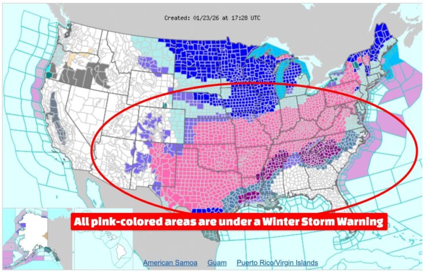
A major, long-duration winter storm is set to impact large portions of the eastern United States beginning Saturday night and continuing into early next week, according to multiple National Weather Service (NWS) winter storm warnings issued early Saturday.
Based on official forecast data, New York State is expected to receive the highest snowfall totals nationwide this weekend, with some regions potentially seeing up to two feet of snow.
The most extreme accumulations are forecast across eastern New York, including the eastern Catskills, Mid-Hudson Valley, and higher elevations of the Berkshires and southern Green Mountains, where snowfall totals could reach 24 inches, according to the National Weather Service office in Albany. Widespread snowfall totals of 12 to 18 inches are expected across much of eastern New York, making it the most heavily impacted state overall.
In addition, lake-enhanced snowfall will significantly increase totals in Oswego County and the eastern Lake Ontario region, where the NWS Buffalo office warns that 12 to 18 inches are possible, exceeding surrounding areas due to persistent lake-effect bands.
“This is an impactful long-duration winter storm,” the National Weather Service in Albany stated, noting that snowfall rates of one to two inches per hour are likely at times, particularly Sunday afternoon and night. Officials warned that travel will be very difficult, with snow-covered roads and reduced visibility affecting both the Monday morning and evening commutes.
States with the Highest Expected Snowfall
| Rank | State | Forecast Snowfall Range | Primary Impact Areas |
|---|---|---|---|
| 1 | New York | 12–24 inches | Eastern Catskills, Hudson Valley, Lake Ontario region |
| 2 | Massachusetts | 13–19 inches | Central, eastern, and western regions |
| 3 | Connecticut | 13–19 inches | Northern and central areas |
| 4 | Rhode Island | 13–19 inches | Statewide |
| 5 | Pennsylvania | 10–18 inches | Central and south-central regions |
| 6 | West Virginia | 12–18 inches (plus ice) | Eastern panhandle and higher elevations |
Beyond New York, the storm will have regional, multi-hazard impacts, including strong winds, ice accumulation, and dangerously cold temperatures. In Massachusetts, northern Connecticut, and Rhode Island, snowfall totals between 13 and 19 inches are expected, with wind gusts up to 35 mph leading to blowing and drifting snow. The National Weather Service in Boston warned that travel could become “very difficult to impossible” across much of southern New England.
Further south and west, Pennsylvania is bracing for 10 to 18 inches of snow across central regions, while western Maryland, western Virginia, and eastern West Virginia face a combination of heavy snow, sleet, freezing rain, and wind gusts up to 45 mph, increasing the risk of downed trees and power outages.
Meteorologists emphasize that timing and persistence, rather than a single burst of snow, make this storm particularly dangerous. Snow is expected to overspread the region late Saturday, intensify Sunday, and linger into Monday, prolonging hazardous conditions.
Emergency officials across affected states are urging residents to delay travel if possible, keep emergency supplies on hand, and closely monitor local forecasts as the storm evolves.