California’s fog problem is rarely one problem. This morning it is three: coastal marine-layer fog in Southern California, valley fog in the Bay Area’s inland pockets, and Tule-fog-style visibility collapses in the Central Valley and adjacent foothills. Together, they create a statewide trap for travelers who assume “sunny later” means “safe now.”
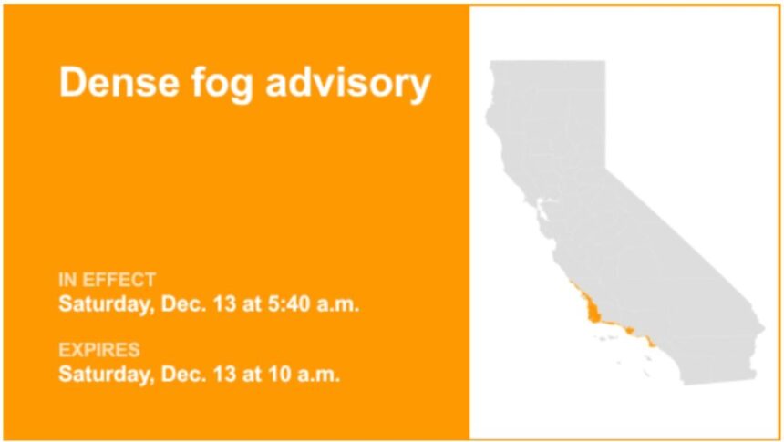
1) Southern California’s coast and inland-coastal zones (Los Angeles, Ventura, Santa Barbara, San Luis Obispo counties)
The National Weather Service in Los Angeles/Oxnard reported “ongoing dense fog impacting virtually all coasts and some inland coastal areas” across its forecast area, adding that a Dense Fog Advisory was issued through mid-morning.
The surprise here is psychological: drivers see clear skies inland and then hit a wall of gray near the coastline, where moisture pools and visibility can drop abruptly on short stretches of US-101, surface streets near the beaches, and canyon mouths.
2) Bay Area interior valleys and coastal approaches
The National Weather Service office serving San Francisco and Monterey Bay warned that “dense fog impacts are expected through the morning” in the Interior North Bay and East Bay Valleys, as well as coastal locations.
This is where travelers get caught on transitions—descending from clearer ridgelines into valley bowls, or moving from inland expressways toward coastal bridges and waterfront interchanges. The risk is amplified for early flights and rides to airports, where low visibility and low ceilings can slow operations even when rain is absent.
3) The Central Valley and nearby foothills, including the San Joaquin Valley.

The National Weather Service office covering Central California noted that a Dense Fog Advisory was in effect through late morning and that it “now includes the San Joaquin Valley, as well as the surrounding foothill areas.”
The trap here is speed: long, straight highways invite faster driving until headlights illuminate only a few car lengths ahead. In Tule fog, visibility can fall from miles to yards in seconds, particularly near river corridors, low fields, and highway depressions.
Practical Tips for Staying Safe
Across all three regions, the safest strategy is the same and the details differ. Give yourself extra time, plan for sudden drops, and do not “outdrive” your headlights. If you are traveling between climate zones—coast to valley, ridge to basin—assume the worst visibility will occur at the lowest point of your route, not the highest. And if you are linking ground travel to an early departure, check airport status before leaving: fog is one of the fastest ways to turn an on-time itinerary into a missed boarding window.