More than a foot of snowfall is forecast this week for Colorado’s mountains, according to the National Weather Service.
Six to 14 inches of snow is expected on mountain peaks in Jackson and Grand counties between 5 a.m. Monday and 5 a.m. Tuesday, according to a winter weather advisory from the weather service.
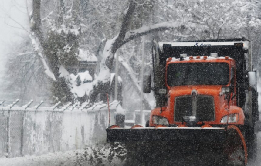
Wind gusts up to 40 mph will blow the fresh snow around and create hazardous driving conditions, forecasters said in the advisory.
The advisory will expire at 5 a.m. Tuesday, when the mountain snow is expected to end briefly, but snow will return to the mountains on Wednesday and Thursday, according to weather service forecasts.
As of Monday morning, the following snowfall amounts were expected to accumulate by 5 a.m. Thursday, according to the weather service:
- 2 inches on Colorado 9’s Hoosier Pass near Breckenridge and at the Keystone Ski Area Summit, with up to 6 inches possible
- 3 inches on U.S. 6’s Loveland Pass, Interstate 70’s Vail Pass and Colorado 125’s Willow Creek Pass near Granby, with up to 6 inches possible
- 4 inches on U.S. 40’s Berthoud Pass near Winter Park, with up to 6 inches possible
- 6 inches on U.S. 34’s Milner Pass in Rocky Mountain National Park, with up to 8 inches possible
- 7 inches on Colorado 14’s Cameron Pass near Fort Collins, with up to 10 inches possible
- 8 inches on U.S. 40’s Muddy Pass near Kremmling, with up to 11 inches possible
- 10 inches on U.S. 40’s Rabbit Ears Pass near Steamboat Springs, with up to 14 inches possible
- 20 inches on Mount Zirkel, the highest peak of Colorado’s Park Range of the Rocky Mountains, with up to 25 inches possible
Traces of snow will be possible across the Denver area by 5 a.m. Thursday, including in Arvada, Golden and Parker, according to the weather service.
No snow is expected in Denver at that time, but a chance of snow will return to the city between 6 a.m. Thursday and 10 a.m. Friday, according to hourly forecasts from the weather service.
Get more Colorado news by signing up for our daily Your Morning Dozen email newsletter.